THE HAGUE, Netherlands — Polish investigators have gathered comprehensive data regarding the GPS disruptions caused by Russia in the Baltic Sea. This problem has troubled pilots and seafarers in the area since the onset of the Russian offensive against Ukraine.
Since the conflict erupted, the radio frequencies above the Baltic Sea have been tainted. Over the years, numerous aircraft and vessels have been misled by their navigation systems, causing some to deviate from their paths or even abort their voyages. The source of these disruptions has been traced back to covert operations by the Russian military that emit disruptive radio waves.
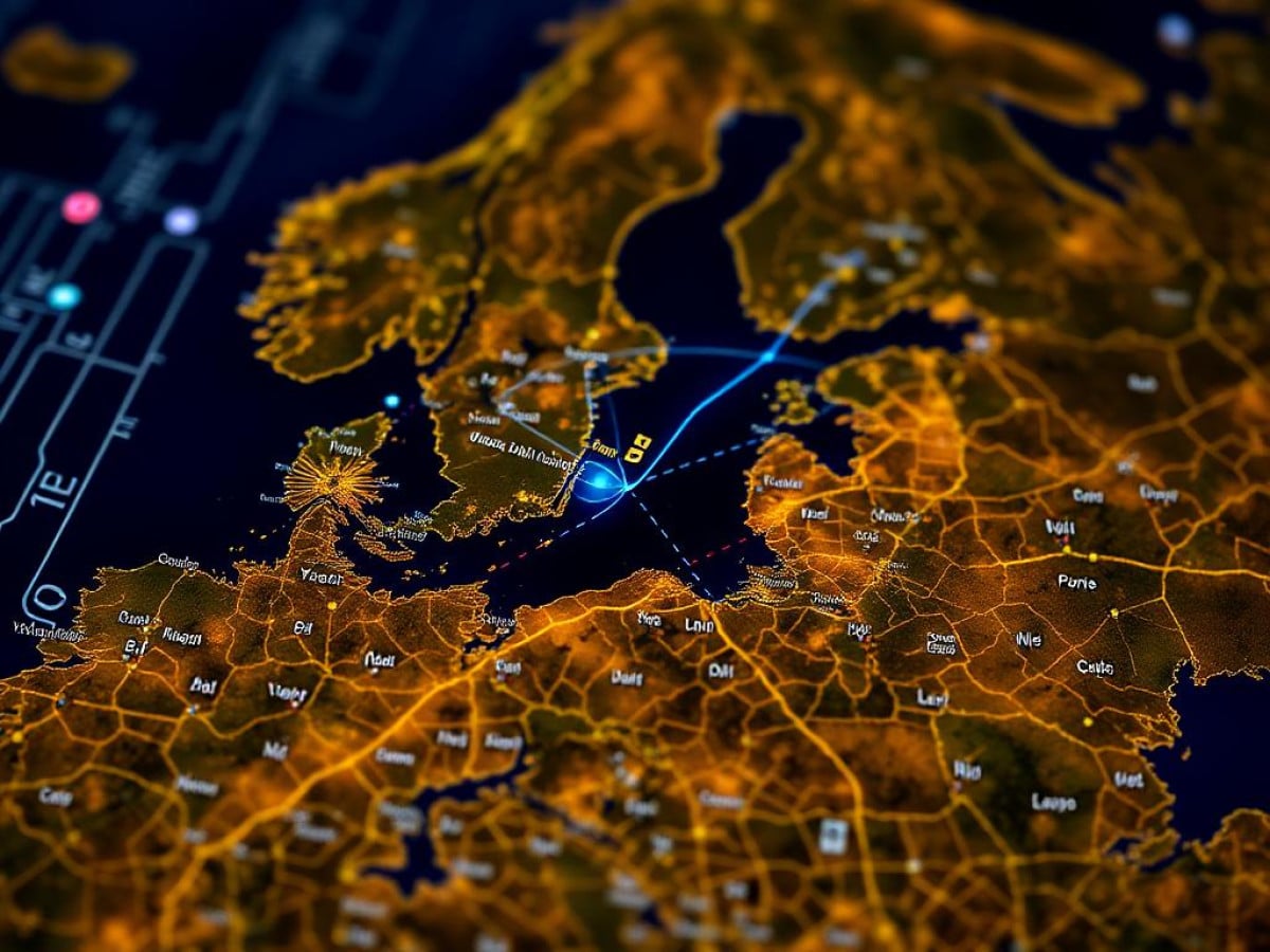
Interference with the Global Navigation Satellite System (GNSS) is now a regular occurrence in northeastern Europe. This interference manifests as jamming, which blocks signals, and spoofing, which manipulates location data. These disturbances have been noted on a nearly daily basis since Russia’s extensive military engagement began in February 2022, affecting areas from Gdansk’s airport to the active maritime routes of the Baltic Sea, extending to the airspaces of Estonia and Finland. The effects include flight cancellations, the shutdown of airports, and commercial vessels being led astray.
Officials in the Baltic region have directly accused Russia of these acts. In March, eight European nations, including the Baltic states, Finland, Poland, France, the Netherlands, and Ukraine, filed a formal complaint with the United Nations regarding these activities. Various UN bodies, such as the International Maritime Organization, the International Civil Aviation Organization (ICAO), and the International Telecommunications Union, have also addressed the issue.
Russia, which is also a Baltic nation and has territories affected by the jamming, has yet to officially comment on these allegations.
Open-source intelligence and government-released data from the Baltic states suggest potential origins of these harmful signals. Two areas repeatedly identified are Kaliningrad, a Russian exclave bordered by Poland and Lithuania, and the area around St. Petersburg. Both zones are heavily militarized and include units specialized in electronic warfare.
“People have become so dependent on satellite navigation,” stated Jaroslaw Cydejko, adjunct assistant professor at Gdynia Maritime University. “Although mariners should be capable of navigating without it, it’s become an integral part of their operations.”
Cydejko’s research, primarily focused on the positive applications of GNSS in maritime contexts, has recently shifted towards investigating these mysterious disruptions in the Baltic region.
According to Cydejko, Russia has employed both jamming and spoofing techniques, with recent trends showing a shift from mere signal blocking to the more complex strategy of signal falsification, based on observations from his research team. Spoofing is a sophisticated method that is not only harder to detect but also more challenging to counter.
Interference Tactics
“Disturbing GNSS signals is unfortunately quite simple,” explained Ralf Ziebold, head of the nautical systems department at the German Aerospace Center. Jamming is accomplished by overpowering the faint signals from global positioning satellites with stronger, closer radio emissions. Spoofing further complicates matters by replacing authentic signals with fabricated ones, misleading autopilots and navigators.
GNSS encompasses systems like the United States’ GPS, Europe’s Galileo, and Russia’s GLONASS. Disrupting these systems has been a key aspect of electronic warfare for several decades.
Cydejko, a Polish expert on GNSS, is part of a global consortium that has established multiple monitoring stations around Gdańsk Bay to track these disruptions. Their network became operational this year, just as a new surge of GNSS attacks emerged.
While Gdansk is not constantly plagued by Russian jamming and spoofing, the occurrences are sporadic yet frequent enough to cause significant annoyance. Cydejko’s research confirms that the disturbances are not emitted from ship- or satellite-based transmitters targeting the Polish port city directly, as some had speculated.
Recent triangulations pinpointed two coastal spots within Russia’s Kaliningrad region with remarkable accuracy. Both locations are near military facilities known for electronic warfare capabilities.
Strategic Disruption
Countries like Estonia, Lithuania, Latvia, Sweden, and Germany have all acknowledged the GNSS interference across this bustling European corridor as a strategic act of Russian hybrid warfare, aimed at causing disruption and violating international norms, according to Estonia’s foreign minister, Margus Tsakhna.
However, not everyone shares this view. Cydejko suggests that the interference experienced over the Baltic Sea and adjacent NATO territories might largely be collateral, not the primary objective of these operations. He believes that the intermittent disturbances in Gdansk, positioned relatively far from Kaliningrad, could be influenced by atmospheric conditions, which intermittently allow the jamming signals to reach the city.
Return to Traditional Navigation
Navigators and pilots should ideally be trained to operate without reliance on GPS, as Cydejko points out. There are numerous alternatives ranging from conventional nautical charts and visual observations to sophisticated inertial navigation systems on aircraft. Some modern GPS devices are also designed to resist certain levels of jamming and spoofing, employing techniques like antenna arrays or signal direction analysis.
Certain locations are particularly susceptible, such as Tartu’s airport, which solely relies on GPS for landing. The Estonian airport has experienced numerous flight cancellations and diversions due to GPS disruptions; Finnair even halted its flights there from April through May 2024.
In response, Ziebold and his team are advancing a project known as R-Mode Baltic, which utilizes land-based beacons instead of satellite signals. This system allows ships equipped with Ranging Mode receivers to determine their positions by measuring distances to these beacons. This initiative is supported by the EU and involves several countries, including Germany, Poland, Sweden, Norway, Finland, and Estonia, with Denmark participating as an associate member.
Other nations are also developing similar land-based navigation systems. The UK has already operationalized a system called eLoran, which has been active since 2014. Meanwhile, South Korea, frequently targeted by North Korean jamming, is working on an eLoran equivalent, and countries like Russia, China, Saudi Arabia, India, and the U.S. are developing their terrestrial navigation solutions at various stages.
Similar Posts:
- Estonia-Russia Naval Standoff: Tensions Escalate in Baltic Sea Showdown!
- NATO Commander Warns: Rising Russian and Chinese Threats in Arctic Escalate Tensions!
- Russia’s ‘Zapad’ Drill Sparks Fear in Europe: Concerns Rise Over Stealth Attacks
- Estonian Intelligence Confirms: Europe’s United Defense Strategy is Effective
- NATO Jet Downs Ukrainian Drone Over Estonia: Tensions Rise Amid Airspace Violations

Jamal Peterson reports on defense, aerospace, and tech policy. With a military background and a strategic mind, he dissects complex subjects with clarity, offering readers sharp, reliable insights.